
User Tools
Sidebar
whidbey_island
This is an old revision of the document!
Table of Contents
Whidbey Island
Photo: Ana Swetish - Deception Pass at dawn - Click to enlarge
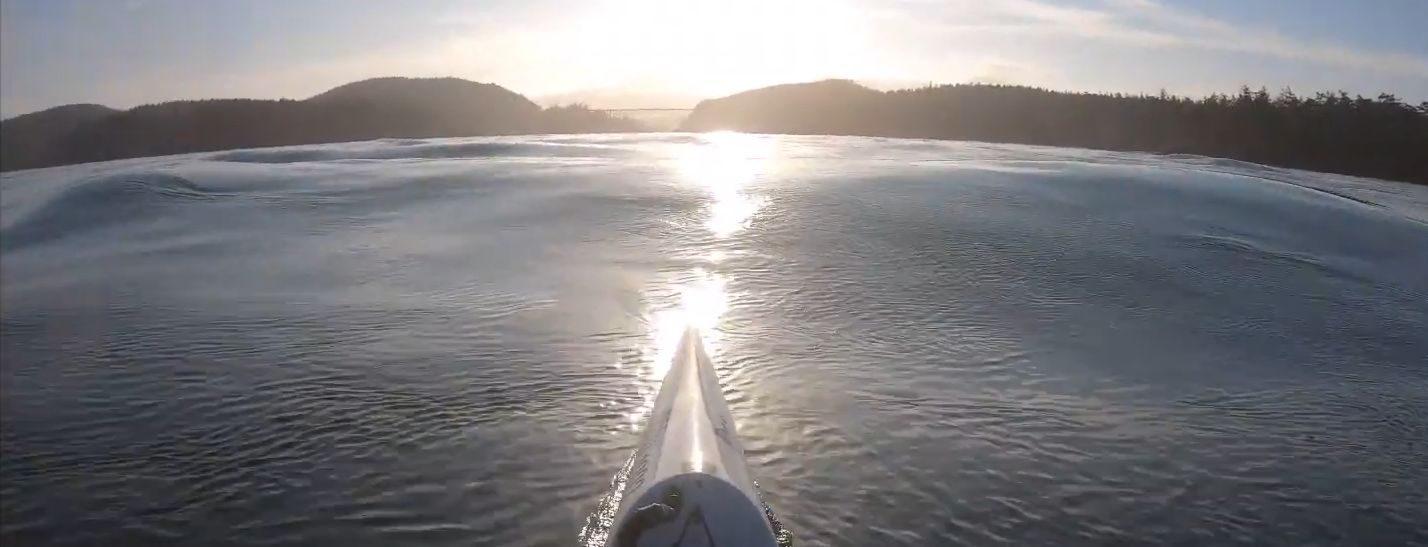
Downwinding
- WISK (Whidbey Island Sea Kayak) via Island Beach Access provides beach landing information around the whole of Whidbey Island
West Side of Whidbey
- Useless Bay (shallow at low tide - Sunlight Beach may be a slightly better launch/landing than Double Bluff at low tide, although at lower tides it is also too shallow. Useless Bay gets its name from the shallow water that prevents boat access at low tide)
- Double Bluff (has parking)
- Double Bluff County Park at the north end of a very long Puget Sound Fetch to the south. paddle south and downwind back north to the park, popular with kiters (October is “Double Bluff” month)
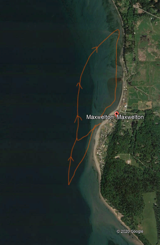
- Dave Mackie Park (Maxwelton Beach) (decent amount of parking)
- downwind approx. 4 miles to Sunlight Beach (very limited parking) or 4.25 miles to Double Bluff Park. Or better yet, do laps from Dave Mackie Park.
- Jim Schultz: “ Maxwelton Beach seems to be the best spot with the long fetch from Seattle and the fact that is gets deep very close to shore. There is a swell train paralleling the shore and fairly close to shore. It reminds me of standing on Highway 14 and looking at the waves in the Columbia. And the paddle upwind is protected by Swede Hill and Indian Point so I can get upwind easily and get more laps in. I’ll go farther south off Indian Point if the wind is lighter and more SE. I’ve done laps up in Bellingham out of Marine Park probably 30 times and this is bigger and better quality. I still haven’t done it on a flood tide yet. I park in the South Lot at Dave Mackey Park. ”

- Mutiny Bay - boat ramp w/ spacious gravel parking lot. On a south wind you can probably do laps, protected by the shore going upwind then turn and downwind at some angle back into the bay, rinse and repeat, kind of like using an eddy to go upstream. You might get downwind legs up to almost 2 miles but you may lose some of your upwind return protection if you go that far north on your downwind legs in the Bay.
- Admiralty Bay - similar in setup to Useless and Mutiny Bays.
- Lagoon Point County Park to Driftwood Park 5.70 miles. Some variation of south wind? We need a report on this possible downwind run. Lagoon Point parking and beach access is “limited”. Is it okay enough for 1 or more surfskis to launch? How is Admiralty Bay? Indications are that the swell from the fetch to the south is more obstructed here than it is in the bays at the farther south on the west side of Whidbey.
East Side
- Langley to Oak Harbor - 21 miles. We don't have a report of anyone doing this long of a Saratoga Passage downwinder. It could get somewhat exposed in the open water between Whidbey and Camano Islands well away from shore or you can take less of a direct line staying closer to the Whidbey shore along the way which would increase the trip length by about 1 mile. But in the right conditions (SE wind for one), might be a longer than usual worthwhile downwinder.
- Langley - Port of South Whidbey Harbor has a boat ramp and beach access
- Oak Harbor - Beach access at Flintstone Park
- Alternate Put-ins/Take-outs
- Penn Cove head west into this cove - protection from S, SE wind
- North Side - Penn Cove Park 19.25 miles from Langley
- South Side - Coupeville - Captain Coupe's Park and Boat Launch 19.5 miles from Langley
- Hidden Beach - distance to Oak Harbor is about 11.5 miles. There is a parking lot with room for approx.15 cars but this is fairly remote and you will often not have anyone else around who might add some security for leaving your car here..
Tidal Race/Rip Tide
- Deception Pass Challenging, technical tidal rip surfing 45 minutes from Bellingham.
Surf/Swell
- Fort Ebey
- Joseph Whidbey State Park
Video
- Deception Pass
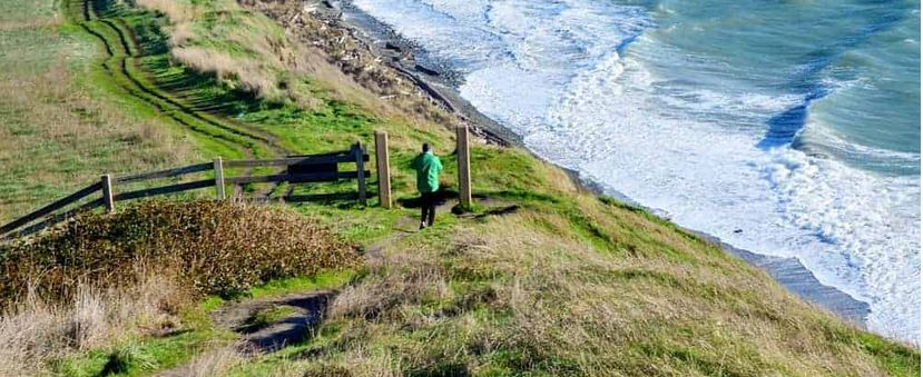
Photo:trekbaron.com - Click to enlarge
Except where otherwise noted, content on this wiki is licensed under the following license: CC Attribution-Share Alike 4.0 International


